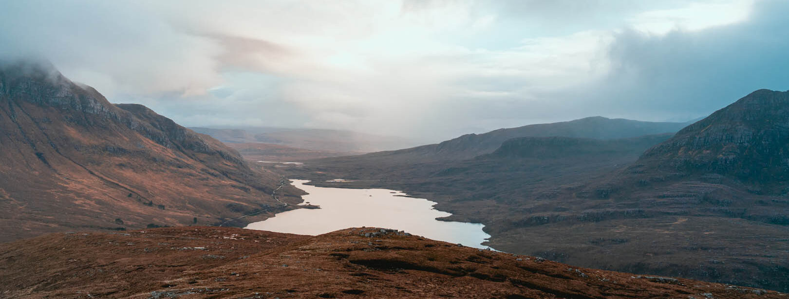
Mapping Scotland's pluvial flood risk in the face of climate change
We produced national pluvial flood hazard mapping for Scotland, to improve understanding of surface water flood hazards, using the latest data, science and technology. We conducted this project in two phases, both of which employed mapping and modelling techniques. The updated mapping incorporates climate change guidance and more recent design rainfall estimates.
- Client: SEPA
- Location: Scotland (national scale project)
- Services
Challenge
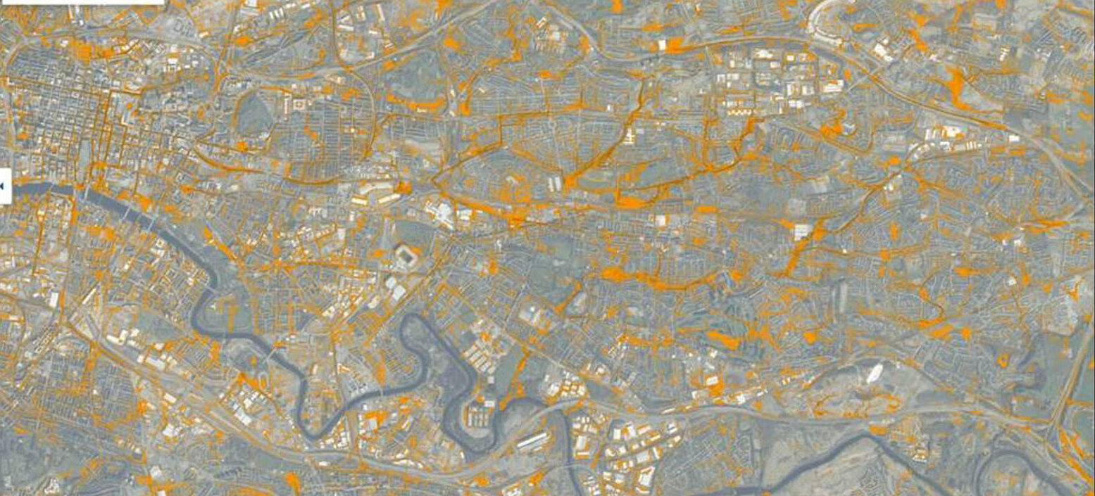
The modelling needs to encompass an area of over 80,000 km² at 2m spatial resolution and requires over 34,000 simulations to be completed for draft mapping covering a wide range of return periods and multiple storm durations.
Solution
Pilot stage – This consisted of testing modelling and mapping methods, as well as a range of assumptions and parameters across four contrasting geographic locations within Scotland.
National rollout – The modelling and mapping of Scotland split into 11 geographical phases. This includes a wide range of return periods, multiple storm durations and the latest future drainage climate change scenarios.
As part of the project, we have developed a new national composite Digital Terrain Model (DTM) at 2m spatial resolution, utilising over 20 sources of LiDAR and photogrammetry information supplied for the project.
The new DTM includes the latest LiDAR coverage across Scotland providing a high-resolution representation of the ground topography, which improves the accuracy of predicted pluvial flood hazards.
Our modelling software JFlow® is used to model and predict the surface water flood hazard for the whole of Scotland. JFlow® solves the two-dimensional shallow water equations and is benchmarked against other established analytical solutions. The project is also trialling the use of emulation to supplement the potential approaches to producing surface water flood mapping.
Benefit
The project will utilise higher resolution elevation and land cover data to improve the accuracy of pluvial flood hazard mapping. The updated mapping will have many forward uses, including informing future National Flood Risk Assessments and the management of surface water in future Flood Risk Management cycles.
The project outputs could feed into other areas such as surface water flood forecasting, natural flood management, adaptation programmes, property level protection and resilience, sustainable urban drainage systems, and blue-green infrastructure.
For more information on this project, please contact Nicci Buckley or Iain Craigen.
Services
At JBA we apply system-level, data-driven thinking to deliver practical solutions that improve asset health, enhance resilience and maximise long-term value for the people, businesses and communities assets serve.
Delivering transformative technology that is pioneering in the pursuit of flood, water and environmental resilience.
Developing leading resilience strategies and solutions founded on the integrated modelling and assessment of water quantity, quality and environmental processes.
Working within a robust and mature digital delivery environment, our engineering specialists work closely with our modelling, hydrology and environmental teams to ensure designs are developed to create efficient, low-carbon and sustainable solutions.
Our specialists in landscape, heritage, ecology, fisheries, EIA, planning and sustainability all work collaboratively with our engineering designers, modellers and our project managers to develop resilient places.
Our proven skills and experience make us a natural partner to help support communities and organisations to become more resilient. We support and empower our clients to manage the twin risks of flood and drought, encouraging and delivering effective water management.
Working with communities across the world to identify and mitigate flood and environmental risks, support sustainable development and build resilience.

