Mapping biodiversity across Great Britain: Habitat surveys for the Mining Remediation Authority
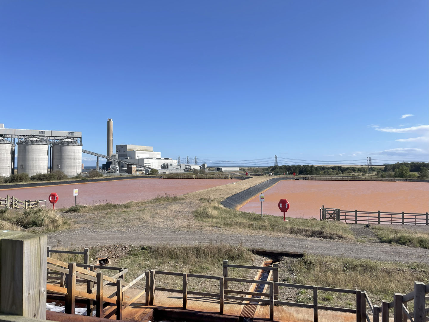
We were recently commissioned by the Mining Remediation Authority to undertake a suite of habitat surveys for 28 sites across England, Wales and Scotland. This vital work will play a key role in informing their future land management and remediation decisions. Read on to find out more.
Assessing nature to support smarter land management
Our detailed habitat surveys will support the Mining Remediation Authority in gaining a clearer understanding of the habitat types present across their sites. Each survey includes a comprehensive report and habitat map, creating a valuable natural asset data resource.
- Client Mining Remediation Authority
- Location England, Wales and Scotland
- Services
Turning data into actionable habitat improvements
In the planning stages, the sites were grouped into clusters. These clusters could be surveyed within one day, which provided time, cost and carbon emission savings to the project. Surveys were also completed at an appropriate time of year (i.e. in flowering season between April and September).
A habitat survey to UK Habitat Classification (UKHab) level 5 was undertaken at each of the sites. Habitat identification was supplemented by recording quadrats at an appropriate density, with reference to the UKHab habitat descriptions.
Condition assessments for each habitat parcel were conducted according to the Statutory Biodiversity Metric guidance. Defra provided spreadsheets containing condition assessments for 785 individual habitat parcels. The Statutory Biodiversity Metric Condition Assessment forms were completed digitally in the field, thus saving time when back at the office. Additionally, as part of this project, more detailed assessments were undertaken for six collieries and former coking sites in England and Wales. Condition assessments for the habitats on these sites, supported by quadrat data, were used to complete the Statutory Biodiversity Metric.
Upon completion of the fieldwork, the UKHab maps were converted to Biodiversity Net Gain (BNG) habitats to facilitate input to the Statutory Biodiversity Metric. This allowed the biodiversity unit baselines across area habitats, hedgerows, and watercourses to be quantified.
A series of recommendations was proposed for each site to help deliver net gain by improving management of the habitats. Such measures included:
- Selective thinning of woodland to improve structural diversity.
- Changes to grassland mowing regime to improve diversity and remove nutrient inputs.
- Scrub and tree control in reedbeds to improve vegetation structure.
- Eradication of invasive non-native species.
Designing habitat management plans to deliver biodiversity gains
A small number of scenarios using management suggestions were tested in the Biodiversity Metric to determine what uplift they could achieve for the six colliery and former coking sites. Since undertaking the baseline assessments, we have been commissioned to undertake surveys of a further 36 sites and prepare habitat management and monitoring plans (HMMP) for all sites to provide site managers with detailed prescriptions on how to manage different habitat parcels so uplift can be delivered.

Contact Laura Thomas for more information about this project.

