Flood Foresight: Innovation with global impact
Innovation is at the heart of everything we do at JBA – and we thrive on finding smarter, more granular and more efficient ways of delivering for our clients. But sometimes this innovation emerges from a global event or crisis. Flood Foresight is one such innovation. Read on to find out more.
The catalyst
It began with a question: How can we better forecast flood impacts to strengthen protection for communities at risk?
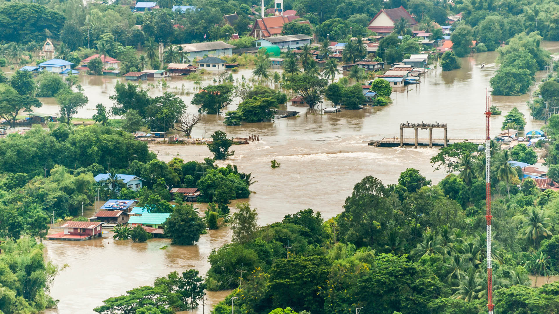
In July 2011, Tropical Storm Nock-ten struck Thailand during the peak monsoon season. Already saturated land and swollen rivers - including the Mekong and Chao Phraya rivers - were overwhelmed by intense rainfall. The resulting floods devastated vast areas of northern, northeastern, and central Thailand, eventually reaching Bangkok. Some regions remained underwater until January 2012, resulting in the costliest flood event on record for the global insurance industry.
The Thai flood event prompted our team of flood forecasting and modelling experts to ask: When the rainfall was known several weeks before, why was it still such a devastating event? Could this have been modelled? Could earlier warnings have reduced the impacts? These questions led us to the concept of a global impact forecasting system, Flood Foresight.
From concept to capability
An Innovate UK challenge to harness large environmental data to solve business problems allowed us to secure support and bring this concept to life.
Guided by real-world challenges set by Lloyds of London, the UK Cabinet Office and Oasis Loss Modelling Framework, we developed a proof of concept for flood forecasting in the Chao Phraya river basin, Thailand and in the Thames river basin, UK.
Bringing together hydrological data and forecasts, our global flood hazard maps and asset/exposure information into a flexible modelling framework, these pilots demonstrated the benefits of Flood Foresight for multiple sectors.
Further investment from JBA’s research and development programme led to the launch of fluvial flood forecasting and monitoring for the whole of the UK and Ireland. Early pilot projects in the UK and Ireland focused on the reinsurance and transport infrastructure sectors.
The global scalability of Flood Foresight was subsequently demonstrated with models in India’s Brahmaputra River basin (2017) and operational use in Myanmar (2019), Pakistan (2020), DR Congo (2021) and Bangladesh (2022).
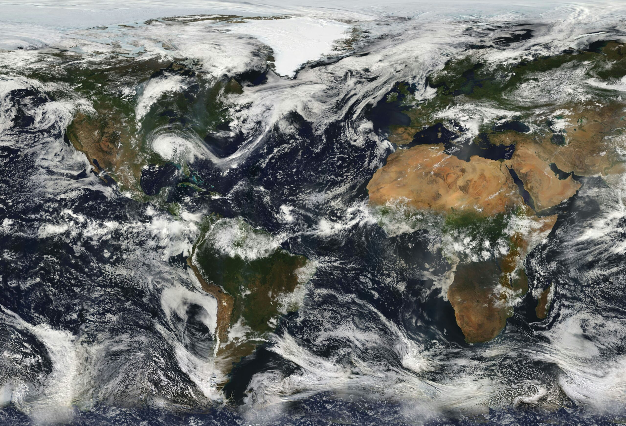
Today, Flood Foresight has been deployed in over 20 countries and territories, delivering rapid flood inundation and impact forecasting that is supporting early warning and anticipatory action worldwide.
Surface water flood forecasting
Our innovation and evolution of Flood Foresight has been ongoing. In 2020, we developed a new module in Flood Foresight for pluvial (surface water) forecasting in Great Britain. With support from the Department for Transport and Innovate UK, we developed a first-of-a-kind surface water flood forecasting and early warning system for Network Rail.
Using near real-time forecasting with the best available ensemble rainfall data, this module has helped to optimise railway operations during flood events.
Taking these fluvial and pluvial modelling capabilities, we have been working with Local Authorities across England and Australia to integrate Flood Foresight to support flood event management.
Innovation with a global reach
Flood Foresight’s impact stretches well beyond the UK and has been deployed in regions across South America, Africa, Europe, and Asia-Pacific. It is now supporting:
✅ Humanitarian anticipatory action
✅ Emergency response
✅ Disaster risk financing
✅ Parametric insurance

Flood forecasting for anticipatory action
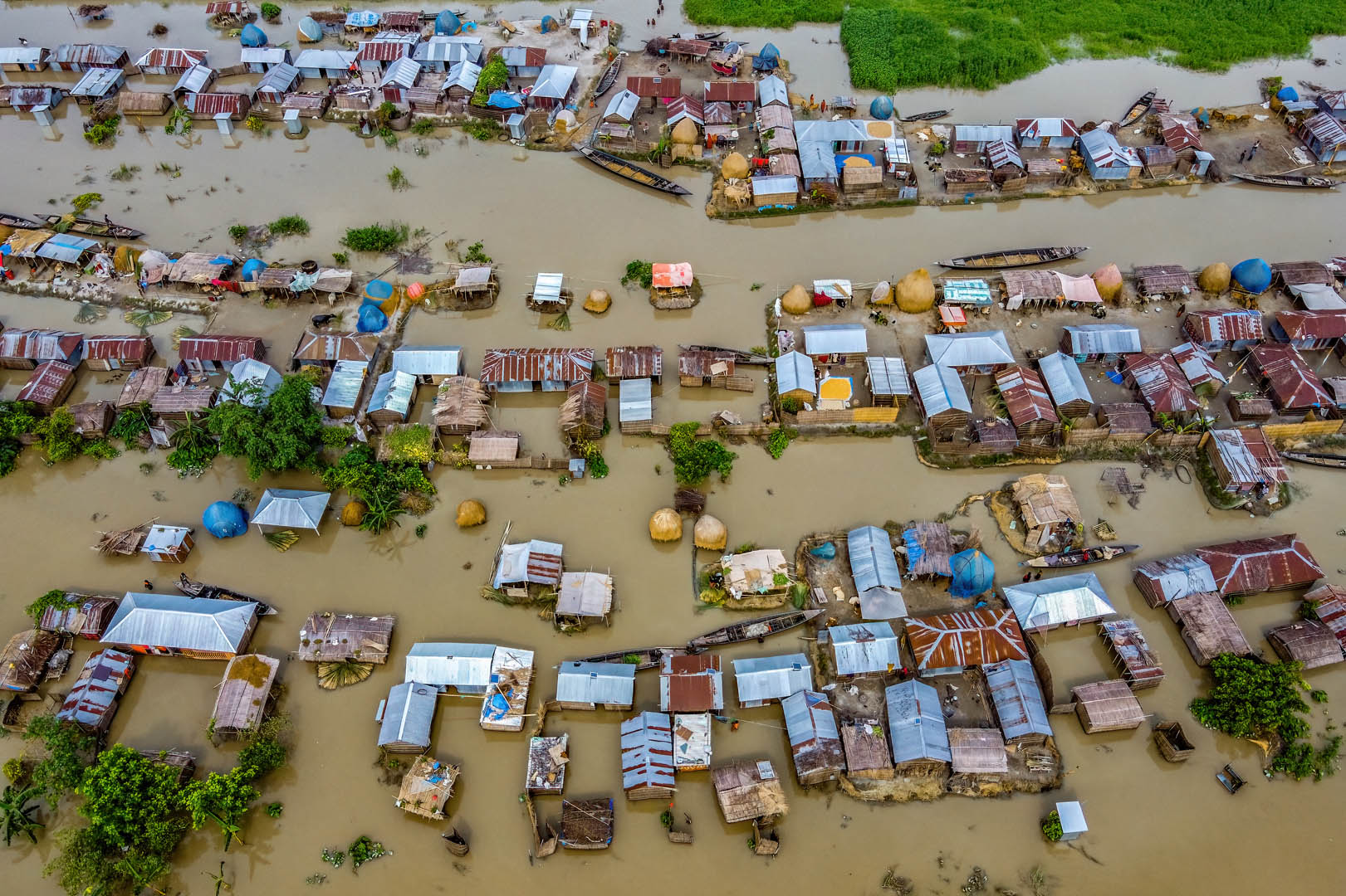
In several countries across South Asia, Flood Foresight is enabling pre-emptive action to protect vulnerable communities through disaster risk financing and cash transfer schemes.
Combining Flood Foresight with our global probabilistic risk modelling is allowing African Risk Capacity and insurance companies to innovate new insurance products.
In more than 10 countries across Africa and Latin America, Flood Foresight is monitoring flood events, feeding into sovereign and more local-scale parametric insurance products.

Looking ahead: faster and more localised models
Flood Foresight is data-agnostic. We have integrated hydrologic forecasts from global to national systems, including GloFAS, Google and Delft-FEWS, extending these for impact estimation.
More recently, we have been developing AI-powered flood forecasting models, trained by our powerful hydrodynamic flood model JFlow®. This enables country-scale forecasts in seconds to minutes, unlocking multi-model forecasting, deeper uncertainty analysis, and rapid “what-if” simulations. This can lead to faster, more flexible forecasting and improved decision-making in the context of disaster risk reduction.
Localising these systems is a key priority. We are building relationships with national hydromet agencies to integrate more local models and data into the Flood Foresight framework. Aligning the triggering of anticipatory actions with national authorities will improve the sustainability of these models and lead to deeper collaboration through capacity building and wider technical assistance. Through partnerships, we can provide support for the definition of more granular triggering mechanisms that target the most vulnerable communities.
Visit the Flood Foresight webpage.

