What is JBAi?
Did you know that here at JBA we’ve been developing innovative Artificial Intelligence (AI) technologies for more than ten years? Drawing on our modelling, software and technology expertise, embracing AI enables us to be at the forefront of creating a climate resilient future.
Last year we launched JBAi, a major investment programme accelerating the pace and scale at which we develop and adopt AI technology. Our rigorous approach to all elements of data security, privacy, quality, bias and fairness allows us to embrace the opportunities provided by AI technology. In the confidence that we are doing so in a safe and ethical way - for our clients, our colleagues and the communities in which we work.
Our AI capabilities include:
- Using a wide range of machine learning techniques to build more efficient and more capable flood models, flood forecasting systems and tools to design robust resilience strategies.
- Training large language models on our extensive database of known and trusted sources, allowing us to do research more efficiently, deeply and transparently.
- Implementing image-detection technology to analyse earth-observation, digital terrain and photographic data.
Here are just some of the ground-breaking AI technologies we’ve developed and applied across a range of projects:
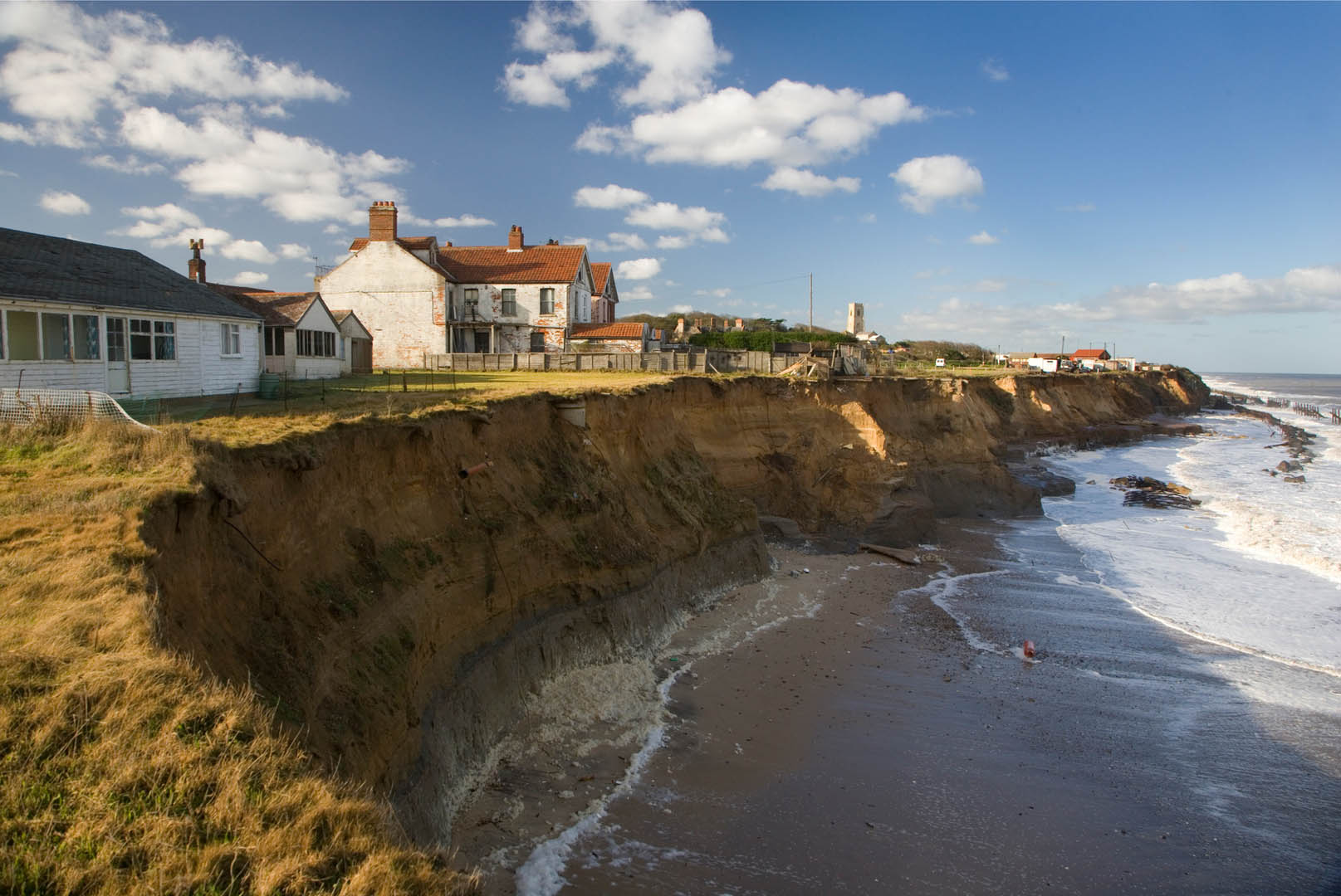
Machine Learning for Extreme Beach Erosion
Our team explored the use of supervised machine learning (SML) for the prediction of beach erosion during severe storms events. Two SML techniques were used to forecast beach responses during extreme events. Modelled responses were then simplified into Coastal State Indicators (CSIs), including beach width and beach slope, and the effectiveness of the two techniques were compared.

JSAT® - JBA's Spectral Analysis Tool
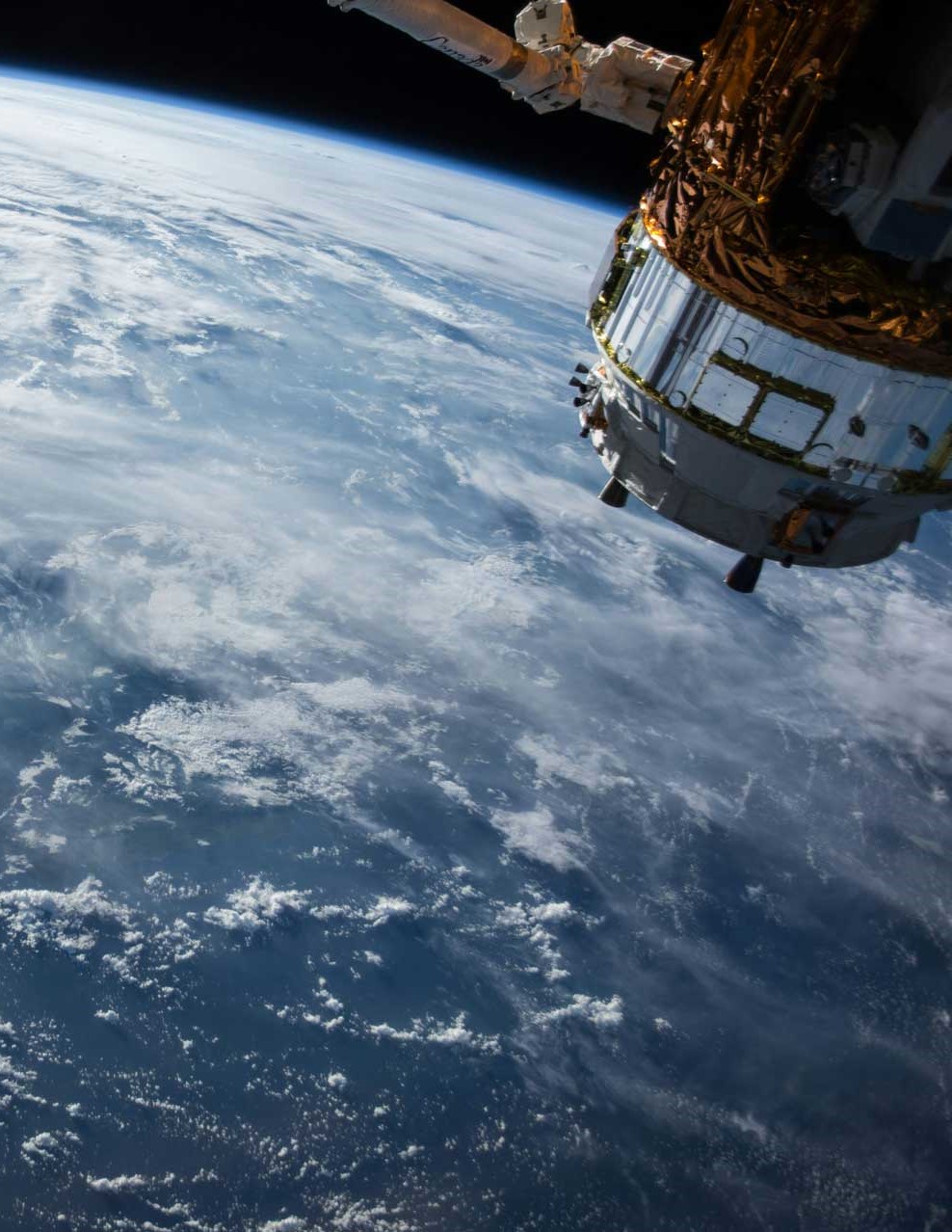
JSAT® transforms water companies’ monitoring of ground water assets, dramatically reducing the risk of pollution incidents while saving costs, resources and carbon emissions from alternative method monitoring. The system uses a series of proprietary innovations to detect changes in land use through a machine learning-enabled analysis of satellite images, allowing users to proactively manage emerging pollution risks. JSAT® demonstrates the power of combining machine learning technologies with satellite data to provide consistent, automated monitoring of risks to critical infrastructure.

Machine Learning for Flood Forecasting
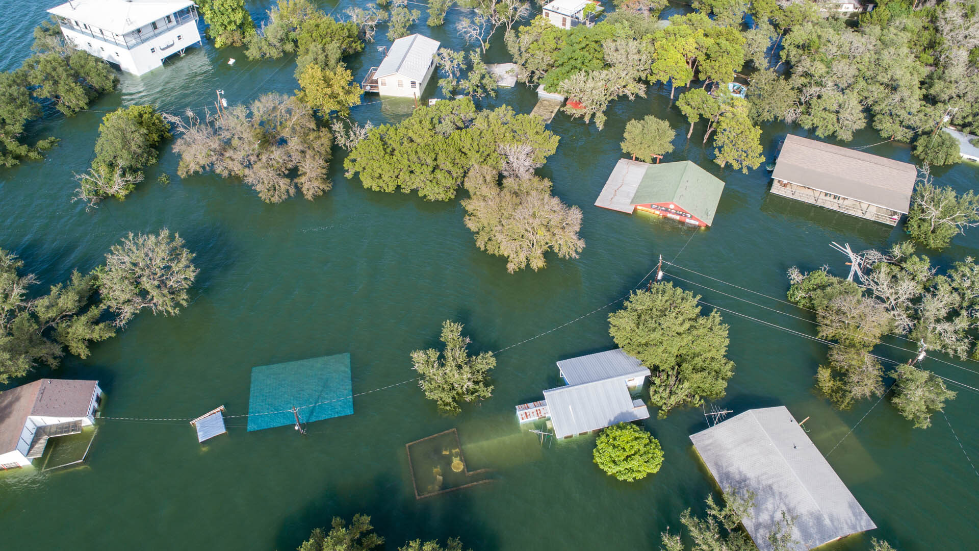
This innovative project compares the performance of existing conceptual mathematical models used for flood forecasting, which represent how water is stored and released based on catchment characteristics, with machine learning (LSTM) models. Machine learning models use a data centric approach to build an understanding of how input data such as rainfall, evaporation, temperature, and catchment characteristics relate to flow observed in rivers. Our aim is to offer a practical solution for catchments which are currently difficult to model using current approaches.

Deep Learning for Hydrologic Mapping
This project applied deep learning to predict stream sediment in the UK based on terrain features. Our team trained a neural network with topographic maps and sediment data. The method was then successfully translated to Python and used to effectively predict and map UK sediment levels.

Biomes Bot
Developed with support from JBAi, Biomes Bot is JBA’s internal Chatbot. The Bot has been trained (using a large language model) on our extensive database of trusted data, research and reports. Therefore, every answer provided by Biomes Bot can be traced back to a trusted source.


Contact Jennifer Grist to find out more about JBAi - and how we're transforming the way we work with Artificial Intelligence.

