Global flood mapping solutions
Access to high quality flood hazard data globally is crucial when planning for and mitigating the risks of flood hazards. And with a worldwide availability, JBA’s Global Flood Maps are an important source of information to support communities in being better prepared and more resilient to the impacts of flooding.
Whether you need indicative property-level flood risk assessments or hot-spot analysis for multiple-site portfolios, large-scale national flood risk assessments or infrastructure planning projects, JBA’s Global Flood Maps can provide the answers you need.
JBA’s Global Flood Maps are also supported by a team of over 700 scientists, engineers, software developers and modellers? Experts who can advise and work with you to deliver flood hazard insights and solutions for your projects.
National Scale Flood Risk Mapping
Our teams of modellers use a combination of manual and automated approaches to improve flood modelling, and models are improved and updated on a rolling programme. Our approach is based on the best publicaly and commercially available datasets, including high resolution Digital Surface Models (DSM), and Lidar where available. We specialise in using high resolution data to develop national or local scale flood maps, using our award-winning technology.
Integration
JBA’s Global Flood Maps can also be integrated into existing platforms and operating systems, to generate powerful insights for our clients. One example is the integration of global flood hazard data into Flood Foresight, our unique flood monitoring and forecasting system. Flood Foresight is a globally-scalable solution providing rainfall severity, flood inundation footprints and depth, and flood impacts. And with JBA’s global flood mapping as a component, Flood Foresight has been adopted by clients worldwide for disaster risk financing and humanitarian early warnings systems.
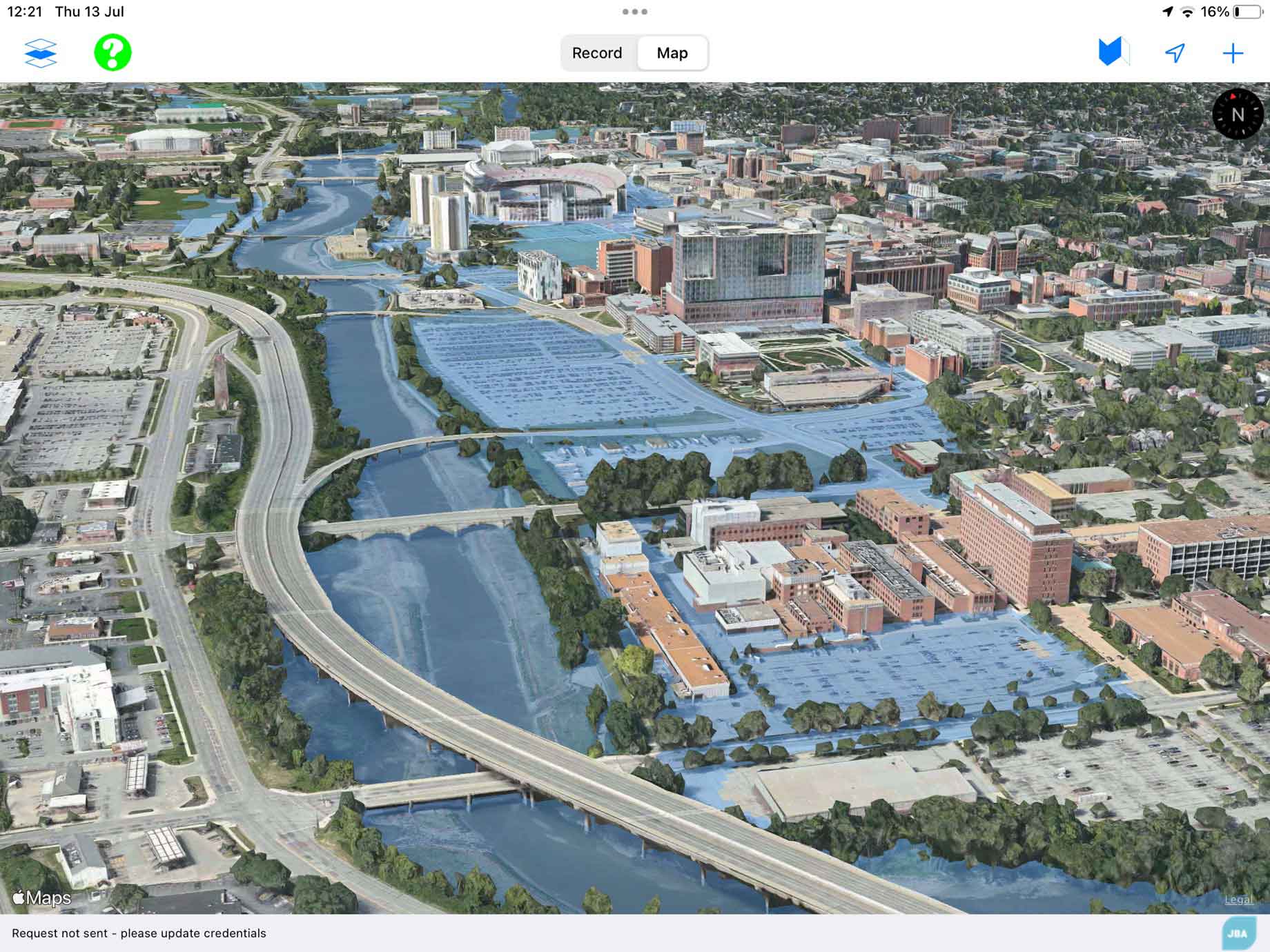
We also work with partners to enable JBA’s Global Flood Maps to be more widely available. A recent agreement with the Development Data Partnership provides the World Bank with access to our 30m resolution flood hazard maps for every country in the world. These maps provide flood extents and depths across multiple return periods and cover both river and surface water flooding as well as coastal flooding in some countries.
View a sample of our 30m resolution flood maps.
View a sample of our 5m resolution flood maps.
To learn more about JBA’s Global Flood Maps visit our website or email us to access the maps you need.
An innovation supported by JBA Labs
JBA’s Global Flood Maps are always improving. And through JBA Labs we’re accelerating the pace, the efficiency and the scale at which we innovate - delivering for our clients, our business and our people. With a dedicated team of innovation specialists, JBA Labs is here to nurture and support every stage of innovation - from scoping out ideas right through to commercialisation. We help deliver projects at any scale, from creating more efficient processes to developing game-changing innovations.

