As one of Europe’s leading specialist software providers, we specialise in web and app development, geographical information systems (GIS) and mapping, data management and processing and system and cloud architecture. We don’t simply make software, we seek to understand your business requirements and data - adding value with our knowledge and innovation.
Twenty three years ago, we launched GISmo to capture data for Geotechnical Asset Management in London North East Region, which is now used nationally across Network Rail. The innovative technology back in 2000 consisted of:
- Hewlett Packard Ipaqs
- External 10GB hard disks
- Bluetooth links to a global positioning system (GPS)
- Disconnected camera
For more than two decades we have adapted to the ever changing and advancing technologies enabling us to continue to meet our clients’ aspirations. The transition of GISmo to GISmapp® which started in 2008, took another significant step with the official retirement of GISmo in Ocober 2022.
Click the link here to see the PDF for an infographic showing the stages of evolution from GISmo to GISmapp® over the last 23 years.
Twenty three years of continued development, support and hosting
Twenty three years later, our GISmapp® software and the expertise of our Technology, Data and Software (TDSD) teams have continued to support and deliver a range of projects with Network Rail, Local Authorities and the Environment Agency to name a few.
From site inspections asset data is provided directly to the asset maintainers and their third-party suppliers, presented in GIS website interface providing real-time access to the data.
GISmo, and now GISmapp®, and the outstanding work delivered by our Technology, Data and Software Development teams for over the past 23 years has helped keep our clients at the forefront of technology and asset management.
We hope to continue this relationship and see where technology and innovation takes us.
More widely, GISmapp® is used across a multitude of disciplines providing eXtensible Markup Language (XML) templated data capture forms allowing the system to be configured for any data type and / or structured very efficiently. The data is all georeferenced and include point, line and regional data along with data and photographs.
Current disciplines using GISmapp® include:
- Geotechnical asset management
- Drainage
- Ecology
- Arboriculture
- Property Flood Resilience
- Initial Needs Assessment (INA) (Culvert analysis) in compliance with the CIRIA guidance
- Reservoir Inspections
- Post Flood Survey Inspections
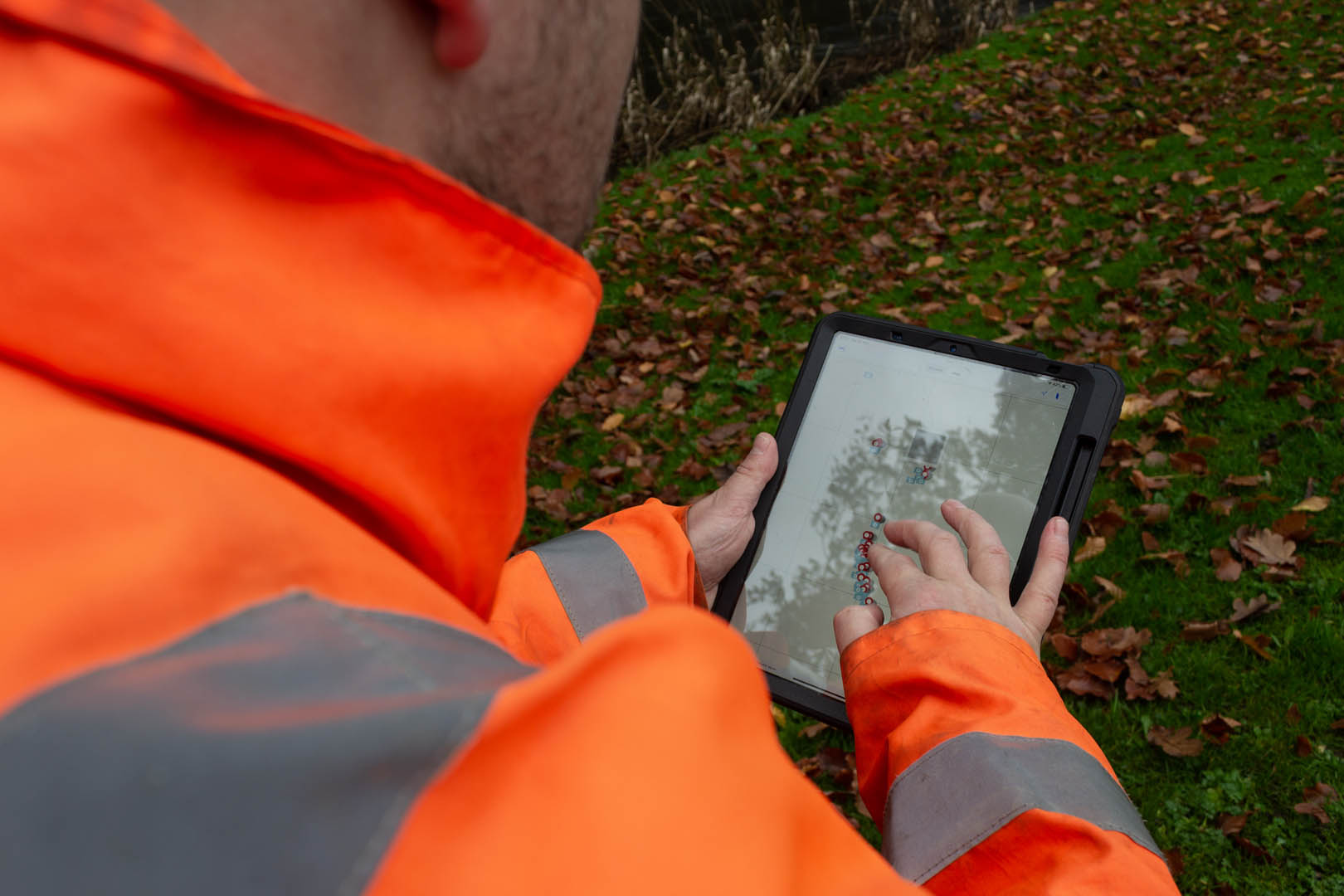
Following continued investment, research and development, the applications of our GISmapp® software have now become much more widespread, making the process of collecting data much more efficient. Having a customisable interface and functionality, GISmapp® allows the user to define the type of data that will be captured. With no network access required, our GISmapp® software can be automatically synchronised when a connection is available, making the survey process more effective.


You can find out more about the work of our Technology, Data and Software teams here, or you can contact Stuart Wallace, GISmapp® Lead if you would like to know more.

