Creating a better future for the River Culm
Discover how nature-based solutions are helping build resilience to flooding and drought while delivering environmental and community benefits across the River Culm catchment.
Building climate resilience across the River Culm catchment
In partnership with Devon County Council (Blackdown Hills Area of Outstanding Natural Beauty), ‘Connecting the Culm’ (CtC) is a catchment management project exploring how nature-based solutions (NbS) can increase resilience to floods and droughts. The project specifically targets communities and infrastructure at risk within the River Culm catchment, whilst also delivering multiple environmental and societal benefits.
- Client Devon County Council
- Location River Culm, East Devon
- Services
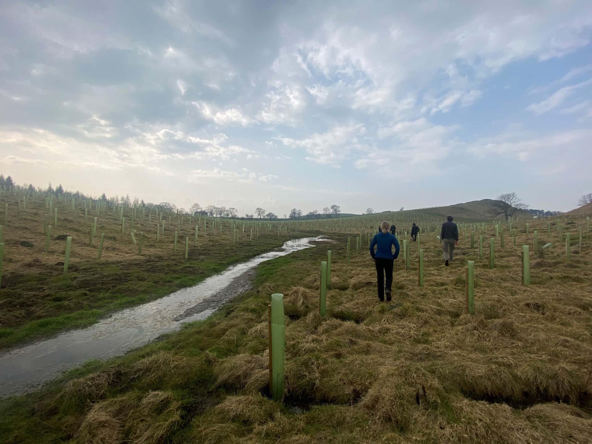
Potential Areas for Improved Resilience (PAIRs)
An adapted fluvial audit of the River Culm was completed in 2019 to provide a detailed baseline of the catchment's geomorphological functioning, which can assist in developing a suite of NbS. Many pressures have been identified throughout the catchment, linked to both historical legacy and contemporary practices. These pressures ultimately affect the catchment's ability to function effectively in terms of flood risk. Three groups of NbS, called Potential Areas for Improved Resilience (PAIRs), were created to target improvements based on the fluvial audit, workshops, and expert surveys of local stakeholders and JBA surveys.
Understanding the economic value of NFM
Outputs from a 280 km² 2D JFlow® flood model were used to determine the economic value of NbS implemented across the catchment in 2022. This was vital to show that using NbS in the catchment could reduce the time the Great Western Railway (Bristol to Exeter line) is flooded and closed to rail traffic by between 2 and 10 hours. This could potentially deliver an annual average benefit of £96k, or £2.9m over a 100-year appraisal, saving Network Rail money on delays and repayments.
This benefit relates to 498,775 m³ of effective storage across the catchment, resulting from a targeted combination of NbS measures. As well as large-scale floodplain restoration and storage of 195,101m³ for the 20% AEP event (critical event for Network Rail). The whole catchment model has been critical in identifying where best to focus PAIRs measures.
The same model was also used to understand whether the council could apply for Environment Agency Flood Grant in Aid (GiA) funding to reduce flooding using NbS upstream of small communities across the catchment. The results show that the environmental and societal benefits are much higher than the flood reduction benefits. However, the scheme could be achievable without claiming any environmental benefits in the OM1 in 2023.
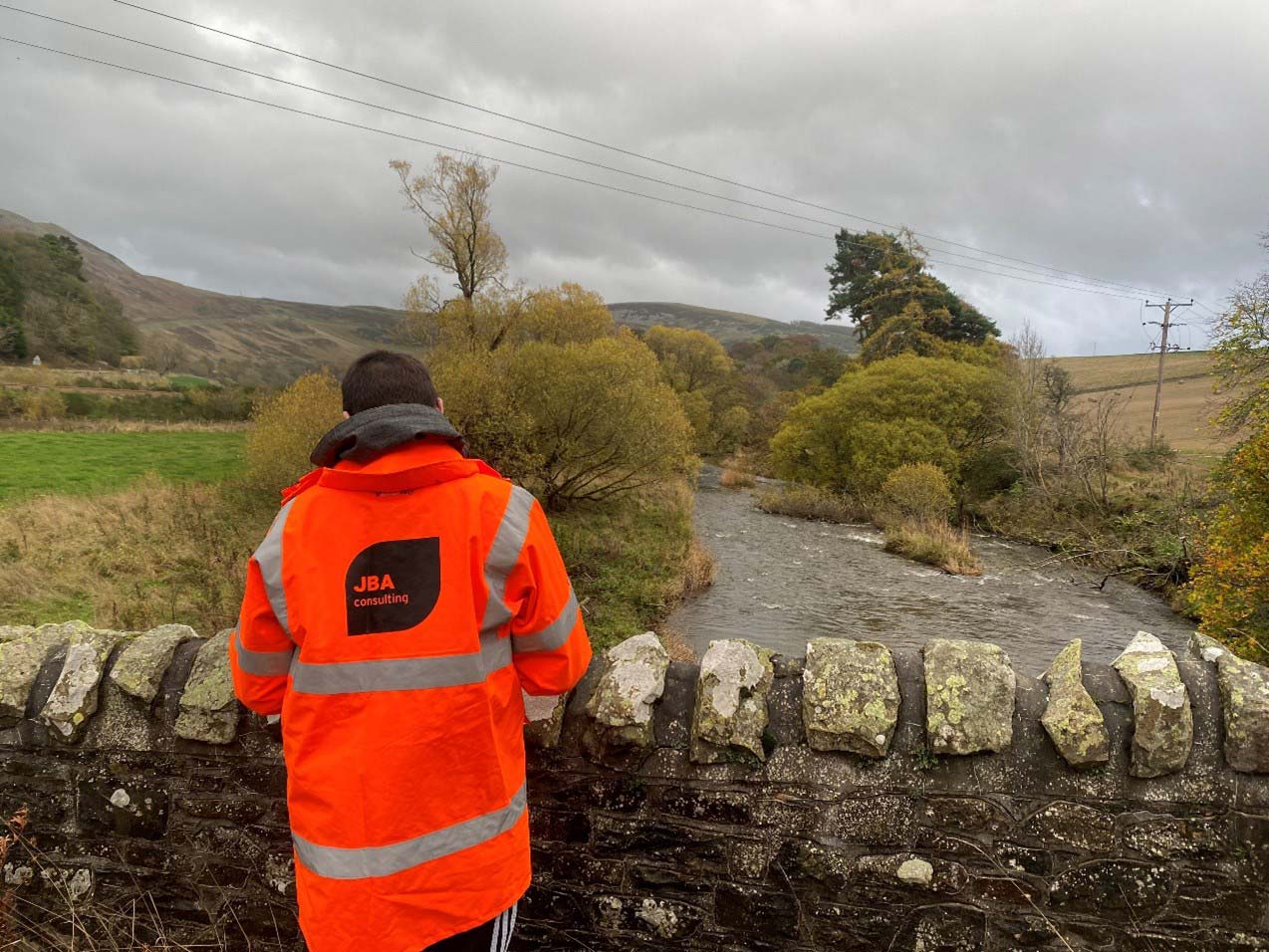
Interactive engagement tools for collaborative flood risk planning
The project has sought to move away from the traditional PDF maps supplied as appendices at the end of lengthy reports. Instead, we held stakeholder engagement events and designed an interactive website for the co-creation of solutions where users can see model outputs, results of the survey and add spatial data and comments. We also further developed the engagement with the design of a YouTube animation of the results.
New partnerships with critical infrastructure providers - Network Rail and National Highways
Throughout the 7-year project, we have found that available funding can make it difficult for farmers and landowners to commit to long-term NbS. Existing farming practices can also create additional pressures that complicate implementation.
While catchment-scale NbS delivers multiple benefits, these are not easily translated into monetary value that supports investment decisions. To date, the project has relied on government funding, but delivering the 25-year blueprint will require long-term, multi-partner financing.
Network Rail is working with CtC to explore how catchment-scale NbS can reduce flooding at Hele Crossing, a critical choke point on the Great Western Railway. Using JBA’s modelling, interventions are being prioritised based on effectiveness, feasibility, cost, and wider co-benefits.
Reducing flood risk at Hele Crossing depends on cooperation from upstream landowners, as floodplain storage and slowed flows rely on interventions on private land. JBA is supporting this through landowner engagement and the development of design packs for floodplain reconnection areas, which are particularly beneficial for protecting critical infrastructure. These interventions must align with farm business needs and ensure long-term maintenance through sustainable funding.
JBA’s environmental engineering team has also supported CtC through feasibility studies and optioneering of NbS to slow and store surface water runoff from the M5 motorway before it reaches the River Culm. The scheme is now progressing through detailed design and planning, aiming to maximise Biodiversity Net Gain (BNG) while reducing the risk of untreated National Highways runoff entering the river.
The pathway to delivery
The next key stages for the 25-year blueprint will require:
- Attracting private investment: By demonstrating NbS benefits through monitoring and modelling, such as reduced railway disruption, water quality improvements, carbon sequestration.
- Expanding partnerships with businesses: This could be landowners, NGOs, and statutory bodies for multi partner financing and to ensure long-term maintenance.
With over two decades of expertise in natural flood management, we’re leading the way in sustainable flood resilience. You can find out more about our specialists in catchment management and river restoration here, or click here to contact the Catchment Restoration and Resilience team.

