Protecting Bronze Age remains through hydrogeological insights
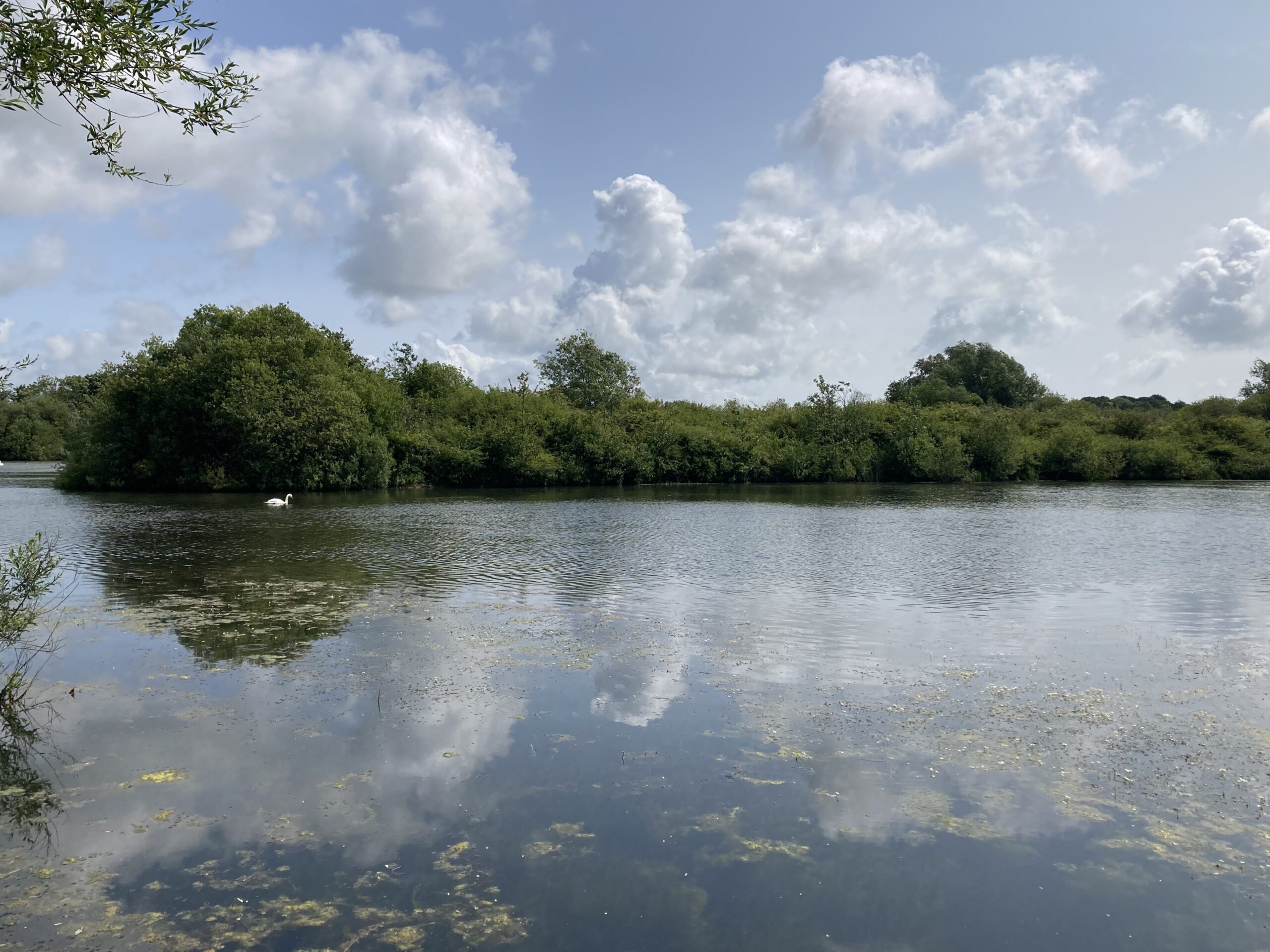
This fascinating project aimed to understand how changing groundwater levels affect buried Late Bronze Age (900–800 BC) archaeological remains near Hydneye Lake, a flood attenuation lake in East Sussex.
Understanding water level risks for archaeological preservation
In this project, a collaboration with Archaeology South-East (ASE) and Historic England, we combined historical site data and hydrological records to develop a robust hydrogeological conceptual site model. This model revealed critical interactions between Hydneye Lake and the surrounding groundwater system, assessed the risks posed by fluctuating water levels, and informed practical recommendations to protect nationally significant Bronze Age archaeological remains.
- Client Archaeology South-East (ASE), part of the University College London (UCL) Institute of Archaeology
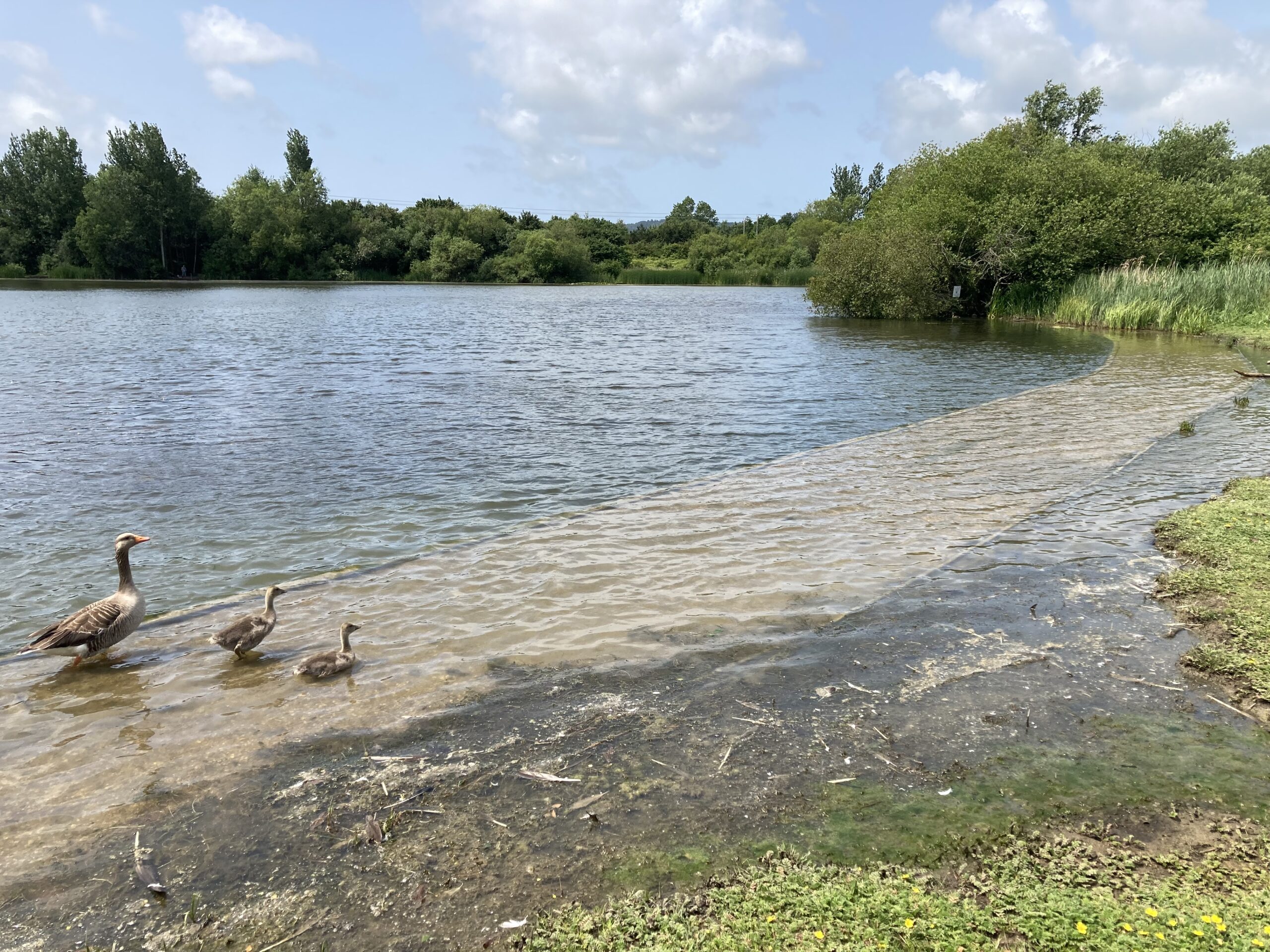
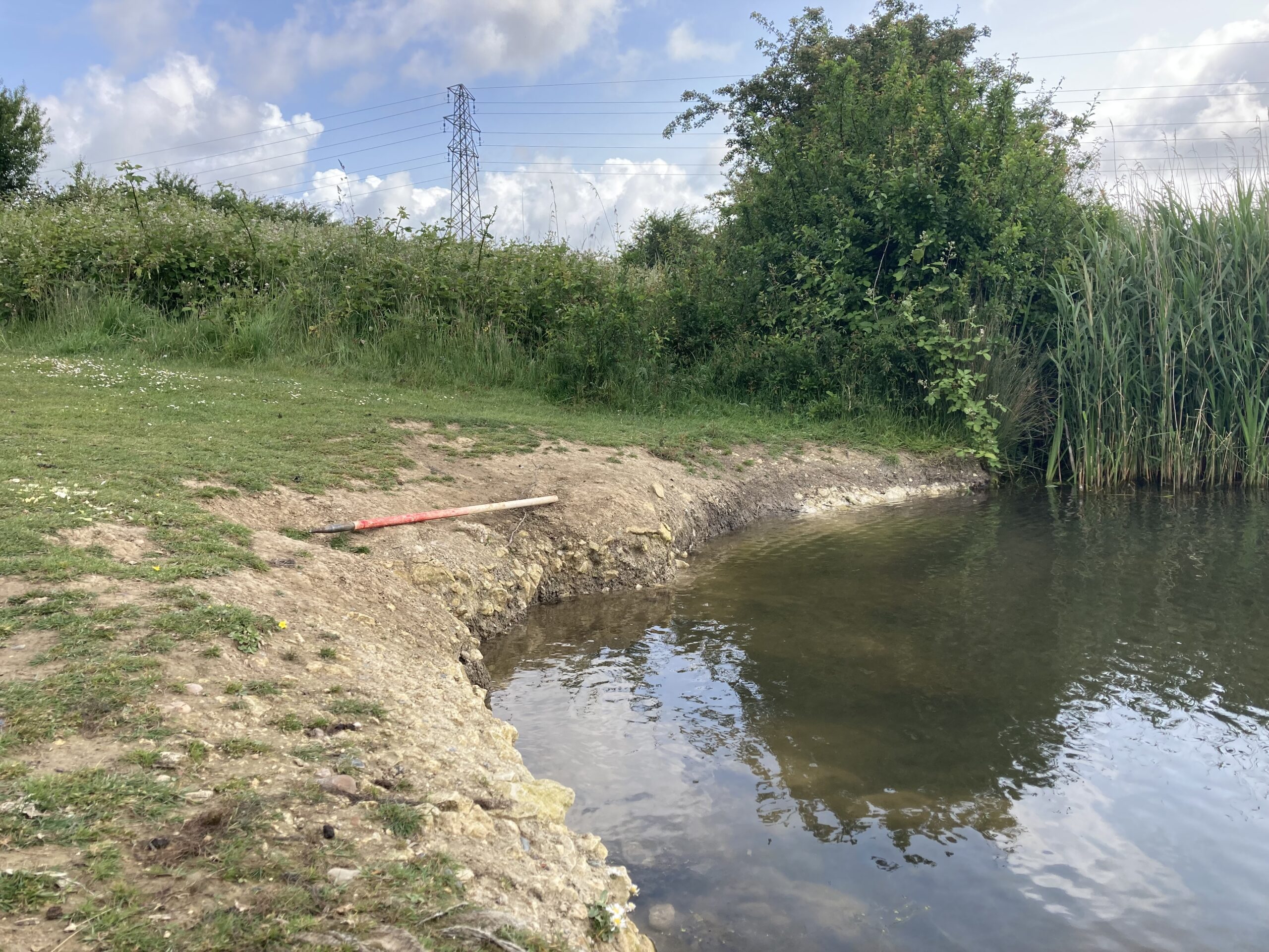
- Location Hydneye Lake, Shinewater Country Park, Eastbourne
- Services Modelling and Assessment
From flood management to heritage preservation
Hydneye Lake was constructed in the mid-1990s as part of a flood risk management scheme. During its construction, significant archaeological remains were uncovered within the Willingdon Peat and, where present, an overlying occupation layer. These discoveries included a truncated wooden platform and abutting wooden trackway, which remain in situ and are designated by Historic England as a Scheduled Monument. Additional finds, such as a bronze sickle with an intact handle, three socketed axes, ornamental amber beads, a bronze chisel, and a bronze bracelet, were excavated and conserved.
Developing a hydrogeological model for archaeological protection
Historic England guidance recommends maintaining water levels at least 0.30 metres above archaeological remains to reduce deterioration caused by fluctuating groundwater. This requirement presented a challenge, given the lake’s primary role as a flood attenuation feature and the potential for water level variation during dry periods.
To address this challenge, we undertook a comprehensive review of historical and recent site investigations, including geological, hydrological, and hydrogeological records. Water level data was provided by the Blue Heart Flood and Coastal Resilience Innovation Programme (FCRIP), and we engaged in detailed discussions with Lewes and Eastbourne Councils and Historic England to gather local insights. Using this information, we developed a hydrogeological conceptual site model to understand how Hydneye Lake interacts with the surrounding groundwater system and how these dynamics influence the preservation of archaeological remains.
The hydrogeological conceptual site model notably indicated that the surface water within Hydneye Lake acts as a key source of recharge to the local groundwater system, and during dry periods, the groundwater level can fall below the recommended water level minimum. Hydrogeological conditions were therefore considered to be sub-optimal for the long-term in situ preservation of the archaeological remains, particularly if the frequency or duration of drier periods increases in the future.
Recommendations for heritage protection
Based on these findings, we presented recommendations to ASE and Historic England. These included monitoring of hydrogeological conditions to facilitate refinement of the hydrogeological conceptual site model and, ultimately, a modification of the water management of Hydneye Lake to support the preservation of the archaeological remains. This project demonstrates how integrated hydrogeological analysis can inform heritage conservation strategies, balancing flood risk management with the preservation of nationally significant archaeological assets.
Contact Neil Buchanan for more information on this project.

