Projection Augmented Relief Model (PARM)
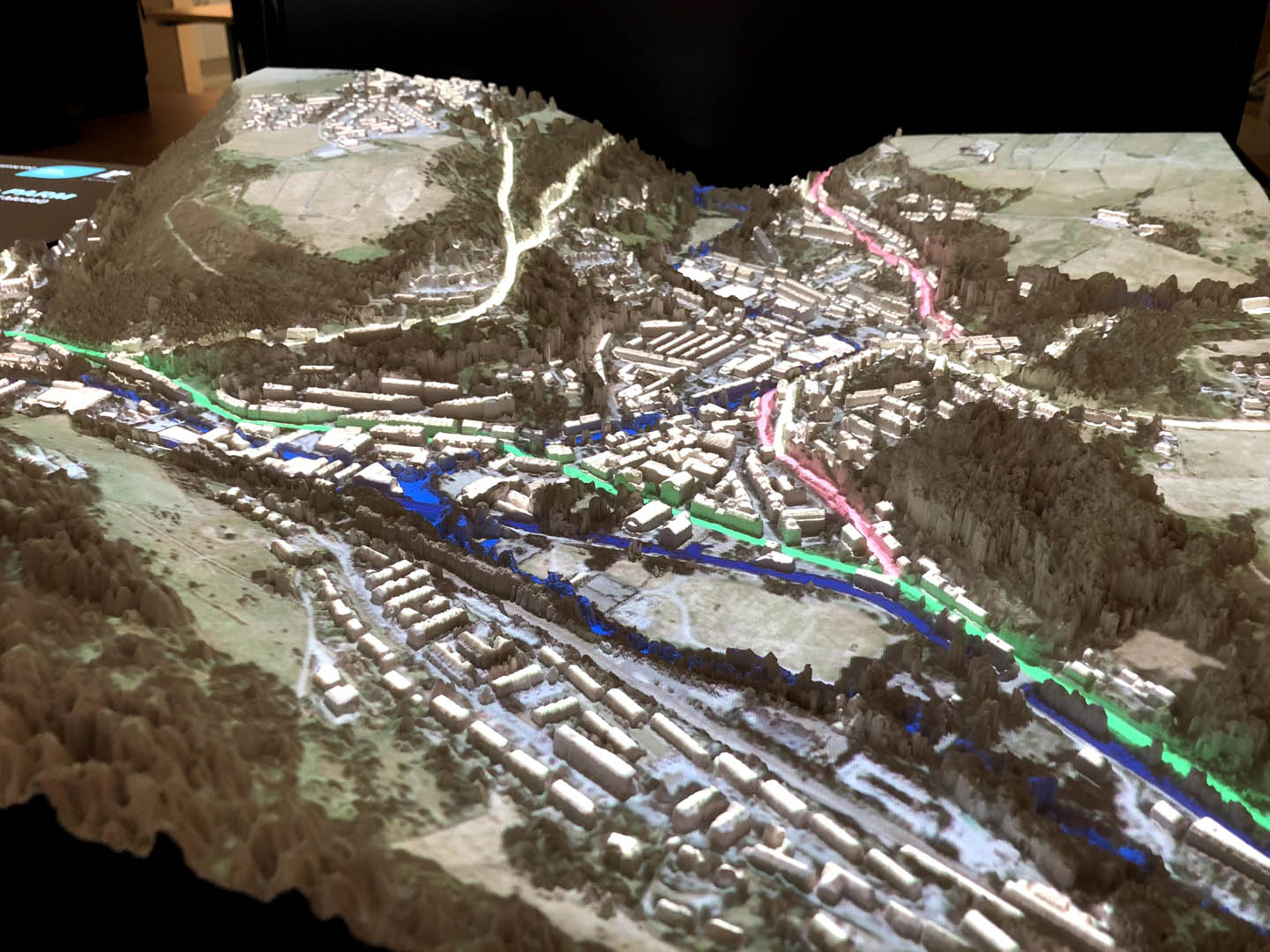
Designed to show the causes and impacts of flooding (including the areas likely to flood, the benefit of flood alleviation and the impacts of climate change) PARM can be used to demonstrate a variety of scenarios on a physical 3D model of a landscape or town. Using a 3D model makes it easier to understand complex spatial information, especially where it changes over time or in different scenarios, for example, the impact of climate change on flood risk. Accompanying images displayed alongside the 3D map projections help users interpret the information on the map.
Different types of information can be projected onto the 3D model, including historic maps, land use, local landmarks, flood risk impacts and proposed new flood defences. The projections can easily be updated and changed making the model adaptable and flexible to meet different user needs.
Working with the School of Geography at the University of Nottingham, we have developed a variety of PARMs to show the impact of different rainfall events and flood defence scenarios, helping engage local communities and support decision-making for flood defence schemes.
We have also been working with JBA Trust to support their research into how the PARM helps people understand spatial information relating flood risk. You can view the JBA Trust’s video about their Skipton PARM here.

For more information about Projection Augmented Relief Models contact Gabriel Pearson.

