High quality, flood hazard data at every location worldwide
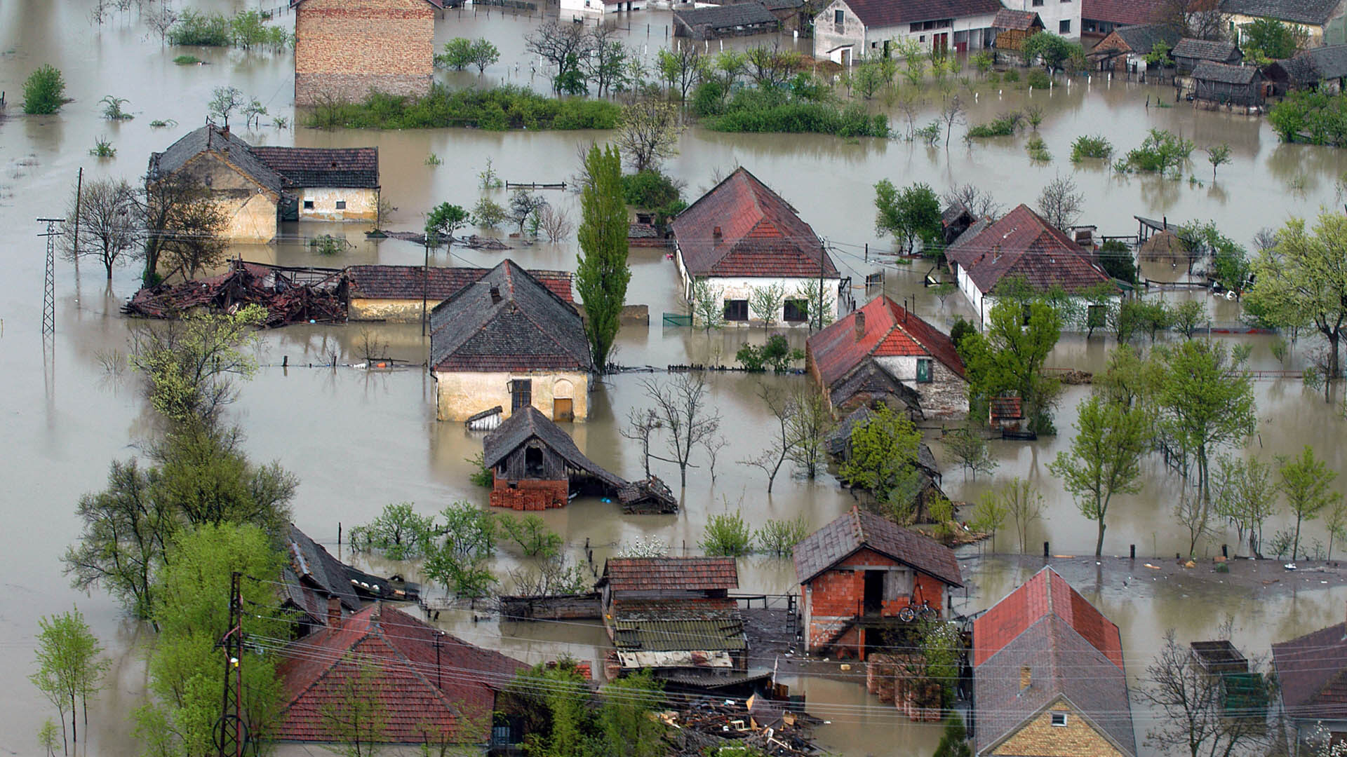
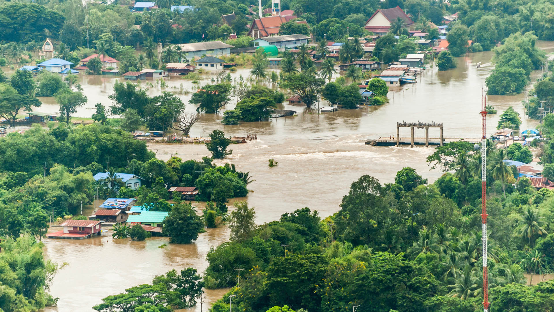
In our changing climate there has never been a more important time to understand the extent and potential impacts of flood hazards across the globe. JBA’s Global Flood Maps provide high quality, flood hazard data at every location, worldwide.
How can JBA's Global Flood Maps help you?
When it comes to flood resilience, being aware of the potential hazards is the first vital step in being able to adapt, respond and recover from flooding.
Access to high quality flood hazard data globally is crucial in planning and mitigating for the risks of flood hazards. They are an important source of information to support vulnerable communities in being better prepared and more resilient to the impacts of climate change.
- Strategic flood risk management
- Flood and water management engineering
- Infrastructure, utilities and transport network operations
- Emergency planning and preparedness
- Humanitarian early actions
- Disaster preparedness
- Disaster risk financing
What can you expect?
Our Global Flood Maps provide flood extents and depths for multiple return periods at up to 5m resolution. They cover both river and surface water flooding as well as coastal flooding in some countries. Enabling decision makers across the globe to better understand and manage flood risk.
View a sample of our
5m resolution flood maps.
View a sample of our
30m resolution flood maps.
Talk to us to find out how JBA’s Global Flood Maps can help mitigate your flood risks, whether for an individual site, region or a whole country or continent. Find out more over on our webpage JBA's Global Flood Maps or contact us today at floodmaps@jbaconsulting.com to access the maps you need!

